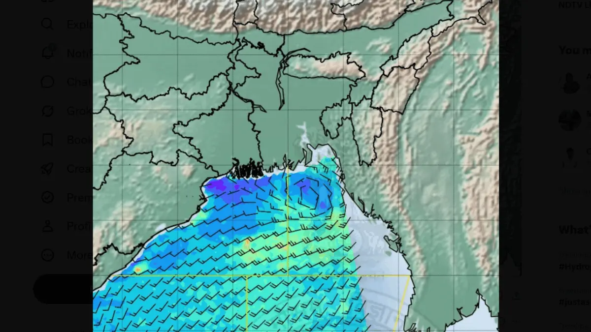
Bhubaneswar: A fresh low-pressure area formed over the Bay of Bengal on Wednesday, raising the possibility of more heavy to very heavy rainfall in several parts of Odisha.
A low-pressure area has formed over the north Bay of Bengal close to the West Bengal-Bangladesh coast at 5.30 am under the influence of an active cyclonic circulation, the India Meteorological Department (IMD) said.
The system is expected to move north-westwards and intensify further during the next 48 hours, the weather agency said.
Under its influence, several parts of Odisha are likely to experience enhanced rainfall activity over the next five to six days.
According to the MeT Centre in Bhubaneswar, most places in the state are likely to receive rain in the next 24 hours. Heavy to very heavy rainfall is expected to lash one or two places in Anugola and Kendujhar districts. An orange warning has been issued for these districts.
Sinilarly, a yellow warning has also been issued for isolated places in Baleshwar, Bhadrak, Jajpur, Kendrapada, Jagatsinghpur, Kataka, Sundargada, Jharsuguda, Bargada, Sambalpur, Deogada, Dhenkanal, Mayurbhanj, Puri, and Khordha districts due to the likelihood of heavy rainfall.
People in the affected districts have been advised to remain alert and follow official weather updates as a precautionary measure.