Bhubaneswar: Odisha is likely to experience heavy to very heavy rainfall under the influence of a fresh low-pressure area, which may form over north Bay of Bengal around July 24.
According to the India Meteorological Department (IMD), the intensity of downpour in the state is expected to increase after 3 days.
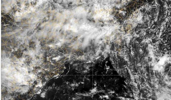
Meanwhile, South Odisha is experiencing heavy rain under the influence of a cyclonic circulation, which lies over westcentral & adjoining northwest Bay of Bengal off south Odisha north Coastal Andhra Pradesh & Yanam. A trough is also passing from central parts of north Bihar to Odisha across Jharkhand.
The IMD has issued yellow warning of heavy rain accompanied by thunderstorm/lightning and gusty surface wind speed reaching 30-40 kmph at one or two places in Angul, Dhenkanal, Nayagarh, Kandhamal, Kalahandi, Rayagada, Ganjam, Gajapati, Koraput, Nabarangpur, Boudh, Mayurbhanj, Keonjhar, Nuapada and Malkangiri districts on July 20.
Thunderstorm/lightning with gusty surface wind speed reaching 30-40 kmph is also likely at one or two places in Balasore, Bhadrak, Jajpur, Kendrapada, Cuttack, Jagatsinghpur, Puri, Khurda, Sundargarh, Jharsuguda, Bargarh, Sambalpur, Deogarh, Sonepur and Balangir.
On July 21-22, heavy rain accompanied by thunderstorm/lightning and gusty surface wind speed reaching 30-40 kmph may continue at one or two places in Koraput, Malkangiri, Nabarangpur, Kalahandi and Nuapada.
Thunderstorm/lightning with gusty surface wind speed reaching 30-40 kmph is also likely at one or two places in Sundargarh, Jharsuguda, Bargarh, Sambalpur, Deogarh, Angul, Dhenkanal, Keonjhar, Mayurbhanj, Sonepur, Boudh, Bolangir, Kandhamal and Rayagada during this period.
The warning turns from yellow to orange during the next three days.
On July 23, heavy to very heavy rain accompanied by thunderstorm/lightning and gusty surface wind speed reaching 30-40 kmph may occur at one or two places in Mayurbhanj and Keonjhar districts.
Heavy rain along with thunderstorm/lightning and gusty surface wind speed reaching 30-40 kmph is also likely at one or two places in Balasore, Bhadrak, Jajpur, Kalahandi, Kandhamal, Ganjam, Gajapati, Rayagada, Koraput and Malkangiri.
Thunderstorm/lightning with gusty surface wind speed reaching 30-40 kmph may also occur at one or two places in Kendrapada, Cuttack, Jagatsinghpur, Puri, Khurda, Nayagarh, Sundargarh, Jharsuguda, Bargarh, Sambalpur, Deogarh, Angul, Dhenkanal, Keonjhar, Mayurbhanj, Sonepur, Boudh, Nuapada, Balangir and Nabarangpur.
On July 24, heavy to very heavy rain accompanied by thunderstorm/lightning and gusty surface wind speed reaching 30-40 kmph may continue at one or two places in Mayurbhanj, Keonjhar and Balasore.
Heavy rain along with thunderstorm/lightning and gusty surface wind speed reaching 30-40 kmph is also likely at one or two places in Bhadrak, Jajpur, Kendrapada, Cuttack, Jagatsinghpur, Angul, Dhenkanal, Nayagarh, Khurda, Deogarh, Sambalpur, Sonepur, Boudh, Kalahandi, Kandhamal and Sundargarh. Thunderstorm/lightning with gusty surface wind speed reaching 30-40 kmph may also occur at one or two places in Puri, Ganjam, Gajapati, Jharsuguda, Bargarh, Keonjhar, Mayurbhanj, Nuapada, Balangir, Nabarangpur, Rayagada, Koraput and Malkangiri.
The weather agency has warned of squally weather with wind speed reaching 35-45 kmph gusting to 55 kmph along & off Odisha coasts, West Bengal & Bangladesh coasts on July 24, when sea conditions are likely to be rough to very rough. Fishermen have advised not to venture into the north and along & off Odisha, West Bengal and Bangladesh coasts on this day.
On July 25, heavy to very heavy rain may occur at one or two places in districts of Odisha.
The intensity of rain may decrease thereafter with heavy rain at one or two places across the state with no large change in the subsequent 3 days, it added.