
Bhubaneswar: Heavy rain accompanied by thunderstorm & lightning lashed Old Town, Airport, Khandagiri and other areas in Bhubaneswar amid India Meteorological Department’s (IMD) nowcast warning for 11 districts of Odisha, including the state capital, till around 2 pm on Thursday.
According to the weather agency, light to moderate rain, thunderstorm with lightning is likely in some parts of Puri, Khurda, Jagatsinghpur, Kendrapada, Bhadrak, Rayagada, Gajapati, Ganjam, Nabarangpur, Kalahandi & Kandhamal in 3 hours. People have been advised to keep a watch on the weather and accordingly move to safer places to protect themselves from lightning stri
kes.
The MeT office further said that conditions are favourable for advancement of southwest monsoon into Odisha.
Notably, the IMD had forecast heavy rainfall at one or two places in Nabarangapur, Kalahandi, Rayagada, Gajapati, Ganjam, Puri, Keonjhar, Mayurbhanj on Thursday. Thunderstorm with lightning is also likely to occur at one or two places in Sundargarh, Jharsuguda, Bargarh, Sambalpur, Deogarh, Angul, Dhenkanal, Keonjhar, Mayurbhanj, Jajpur, Bhadrak, Balasore, Cuttack, Khurda. Light to moderate rain or thundershower may occur at many places in the state, it added.

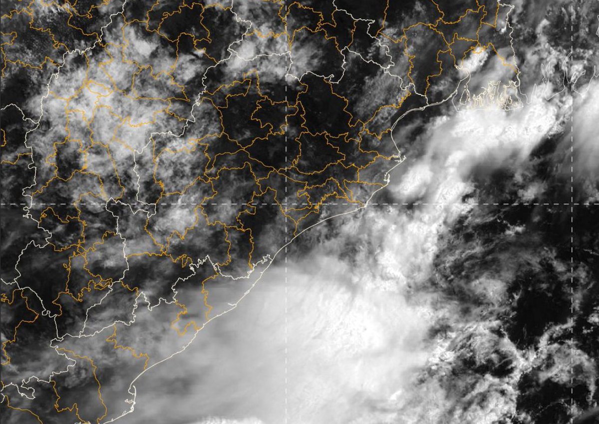
Odisha may experience very heavy rainfall from Friday with the likely onset of southwest monsoon.
Also Read: Monsoon To Set Over Odisha In 2 Days, Very Heavy Rain From June 23; Check IMD Forecast