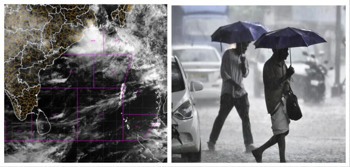
Bhubaneswar: The low-pressure area over the Bay of Bengal is likely to intensify further into a depression on Thursday and affect the weather conditions in Odisha, the India Meteorological Department (IMD) said on Wednesday.
According to the latest IMD update, the system is likely to intensify into a well-marked low pressure within the next 12 hours.
The system is then expected to further strengthen and turn into a depression over the subsequent 24 hours. Moving in a north-westward direction, it is then likely to cross the Bangladesh-West Bengal coast.
Under its influence, many parts of Odisha are likely to experience rainfall activity. Heavy to very heavy rainfall is likely to occur at one or two places in Anugola and Kendujhar districts in the next 24 hours. An orange warning has been issued for these districts.
Similarly, a yellow warning has also been issued for isolated places in Baleshwar, Bhadrak, Jajpur, Kendrapada, Jagatsinghpur, Kataka, Sundargada, Jharsuguda, Bargada, Sambalpur, Debagada, Dhenkanal, Mayurbhanj, Puri, and Khordha districts due to the likelihood of heavy rainfall.
According to the weather agency, squally weather with wind speed reaching 40-50 kmph and gusting to 60 km is likely to prevail along and off Odisha coast up to August 14.
Sea conditions is likely to be rough to very rough along and off Odisha coast during the period. Fishermen have been advised to refrain from venturing into the sea along and off Odisha coast till August 14.
The IMD has advised people in the coastal regions of Odisha, West Bengal, Bangladesh and neighbouring areas to remain alert and monitor official weather updates closely.