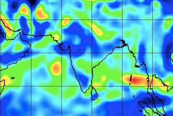
Bhubaneswar: While several overseas weather agencies have predicted that a cyclonic storm of a severe category is most likely to form over the Bay of Bengal in the second week of October, the India Meteorological Department (IMD) in a morning release on Saturday said that a low-pressure area is most likely form over the north Andaman Sea in the next 48 hours.
According to the release, a cyclonic circulation lying over the North Andaman Sea and neighbourhood is most likely to form into a low-pressure area over the same region during the next 48 hours.
The system is likely to become more marked and move in the westnorth-west towards south Odisha and north Andhra Pradesh coasts during the subsequent 4-5 days.
Numerical models, including IMD GFS, NCEP-GFS, GEFS, NCUM, NEPS, ECMWF, have indicated that the system will intensify into depression over the east-central Bay of Bengal around October 14 with west-northwestwards movement towards south Odisha and adjoining north Andhra Pradesh. It is likely to intensify further into a cyclonic storm of severe category.
According to the director of Meteorological Centre, Bhubaneswar, HR Biswas, the movement and the intensity of the low pressure will be determined after its formation.
Explaining the reasons for the formation of a cyclonic storm over
the Bay of Bengal in October, former director of the Meteorological Centre, Bhubaneswar and presently the director of the Centre for Environment and Climate (CEC) of the SOA University, Dr Sarat Chandra Sahu said that the temperature of the sea surface is the highest during October due to high moisture content over the sea during the monsoon.
He said that the sea surface temperature has to be 26.5 Degree Celsius for the formation of low pressure. If the surface temperature of the sea rises, it would evaporate warm moisture to facilitate the formation of a low-pressure area above the sea.
“However, if the temperature is 30 degrees Celsius on the sea surface, it becomes minus 60 or 70 degrees Celsius when it goes up releasing latent heat resulting in the formation of a cyclonic storm. Besides, the absence of air movements from north-western India towards the Bay of Bengal in the post-monsoon phase is also another reason for the chances of cyclones in the Bay of Bengal,” Sahu pointed out.
He further said that wind shear is another contributing factor for the formation of the cyclonic storm. The wind shear, which is sometimes referred to as wind gradient, is the difference in wind speed and/or direction over a relatively short distance in the atmosphere. The difference of wind speed is measured from a height of 1.5 km to 12 km and when the difference is less, it helps the cyclonic storm to gain strength, Sahu said.
Also Read: Odisha To See Another Storm In ‘Cyclone Month’ October!
