New Delhi: The Ministry of External Affairs (MEA) on Sunday issued a clarification on India’s position regarding the Union Territories of Jammu and Kashmir and Ladakh after India backed an African Union-led resolution at the United Nations to “rebalance” the world map.
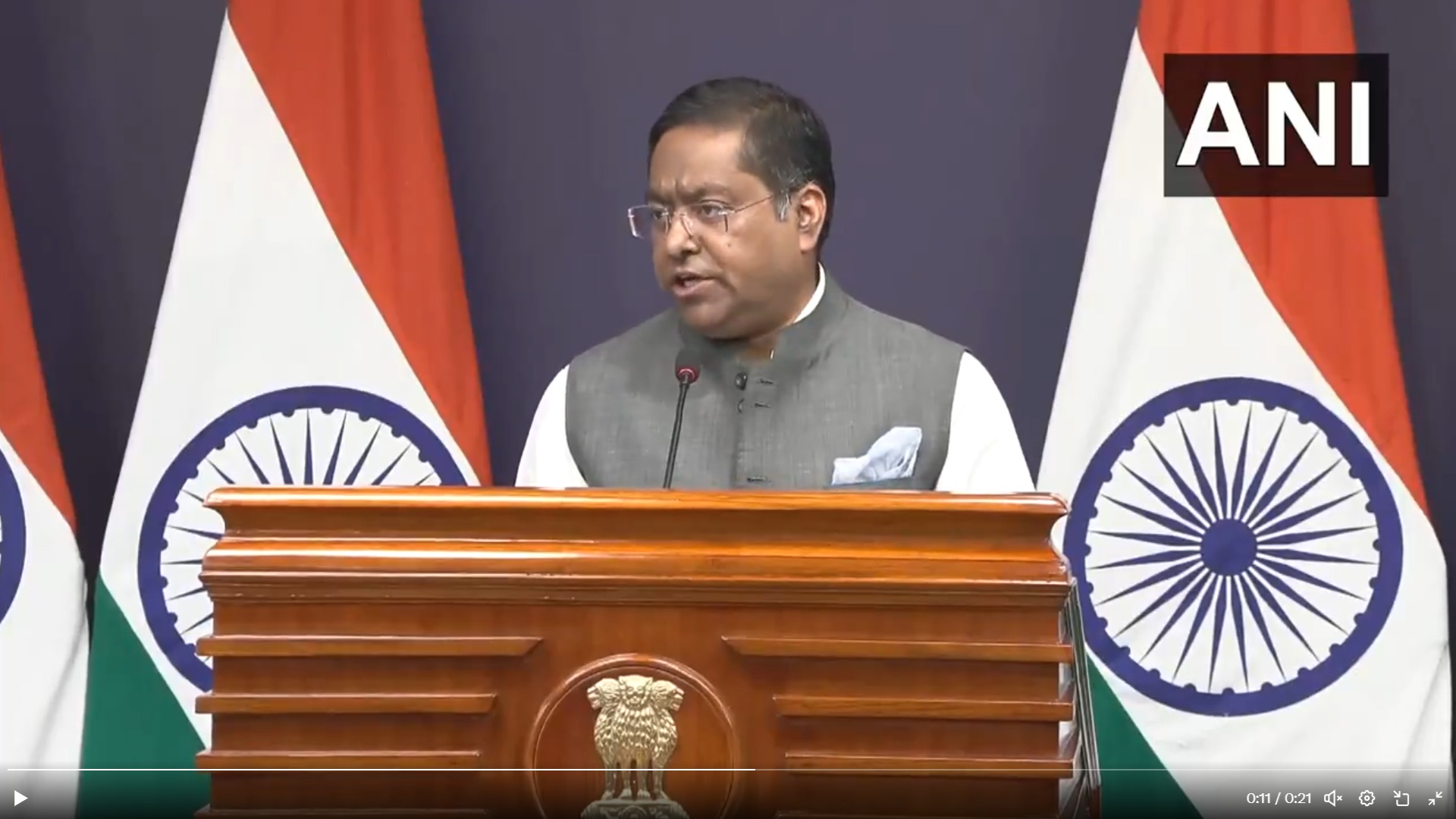
MEA spokesperson Randhir Jaiswal said India voted in favour of the resolution because it stressed “the underlying principle of promoting equal – area cartographic representation.”
Our response to media queries regarding a UN General Assembly resolution on equal-area world map ⬇️
🔗 https://t.co/sAnpGhX3fA pic.twitter.com/Cfyn3jMcOG
— Randhir Jaiswal (@MEAIndia) September 6, 2026
Jaiswal further said, “We also highlighted that the resolution does not constitute endorsement of any specific map, projection or depiction of national boundaries.”
The United Nations General Assembly on Friday voted to back a resolution spearheaded by several African countries to adopt a map that makes their continent bigger while shrinking North America and Europe.
The resolution aimed at “a more accurate representation” of continental landmasses. It was supported by 164 countries, while the United States voted against it and six other states abstained.
‘India warns against ‘incorrect depiction’
India has time and again been an ally for the African Union states, from ensuring its inclusion in the Group of Twenty (G20) to now backing the “equal earth” map at the United Nations.
However, New Delhi insisted that the Equal Earth map will not change the depiction of current national boundaries.
Jaiswal said, “India’s sovereign territory, including the Union Territories of Jammu and Kashmir and Ladakh, must be depicted in accordance with India’s official map. Any inaccurate or misleading depiction is unacceptable. Our position on India’s sovereignty and territorial integrity is clear, consistent and non-negotiable.”
What led to the call for a new map?
The Mercator map, which has been in common use since the 16th Century, has been criticised for showing Africa as being of similar size to Greenland, even though its mass is actually 14 times larger.
The map, first designed in 1569, was made to help European explorers navigate across the world. The distortion of the map is based on the fact that the surface of a globe cannot be represented on a two-dimensional chart.
In the Mercator map, the curvature of the Earth is accommodated for by making countries near the equator seem smaller than they are and countries near the poles appear larger.
In order to address this, an “equal earth” map was created in 2018. In February 2026, all 54 nations in the African Union adopted the map due to its “accurate representation of all continents, especially Africa.”