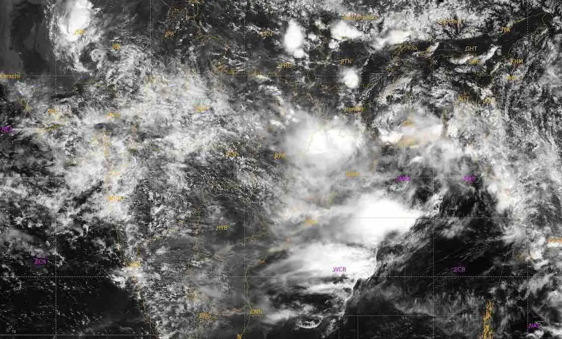
Bhubaneswar: The well-marked low-pressure area over coastal West Bengal and the adjoining Bay of Bengal intensified into a depression over coastal West Bengal on Thursday morning about 190 km east-northeast of Baripada in Odisha.
The depression is expected to move northwestward across Gangetic West Bengal and Jharkhand over the next 24 hours, dumping extremely heavy rain in Odisha. A red warning has been issued for Sundaragada and Kendujhar districts till 8.30 am on Friday. Heavy to very heavy rain accompanied by gusty surface winds reaching 40–50 kmph may also occur in the districts of Baleshwar, Bhadrak, Jajpur, Kataka, Jharsuguda, Baragada, Sambalpur, Debagada, Anugola, Dhenkanal, and Mayurbhanj. A yellow warning also remains active for coastal and central districts of Kendrapada, Jagatsinghpur, Sonpur, Boudh, Balangir, Puri, Khordha and Nayagada, which may experience heavy rain along with thunderstorm activity.
The orange warning for heavy to very heavy rainfall shifts westwards to Sundaragada, Jharsuguda, Baragada, and Sambalpur on August 14. Nine other districts – Baleshwar, Debagada, Anugola, Kendujhar, Mayurbhanj, Sonpur, Boudh, Nuapada and Balangir – remain under a yellow warning.
Rain intensity is expected to gradually decrease, though heavy rainfall warnings persist for isolated northwestern and northern districts including Sudaragada, Jharsuguda, Baragada, Kendujhar and Mayurbhanj for another 3 days.
The IMD has warned of potential localised road flooding, waterlogging in low-lying urban areas, reduced visibility, and disruption to city traffic. The weather conditions can also cause minor damage to vulnerable structures, unpaved roads, and standing crops, along with landslides or mudslides in hilly areas. People have been advised to stay indoors during thunderstorm activity, monitor traffic updates before traveling, avoid waterlogged locations, and seek safe shelter away from trees or concrete structures during lightning.
Sea conditions along and off the Odisha coast will remain rough to very rough, accompanied by squally weather with wind speeds reaching 45–55 kmph and gusting up to 65 kmph on August 13 and 14. The IMD has strictly advised fishermen not to venture into the sea off the Odisha coast during this period.
The active southwest monsoon has already lashed northern and interior regions of Odisha. In the 24 hours leading up to 08:30 AM today, extremely heavy rainfall was recorded in isolated pockets of Baleshwar and Mayurbhanj districts. Bhograi in Balasore recorded the state’s highest rainfall at 24 cm, followed closely by Samakhunta in Mayurbhanj at 23 cm, and both Baripada and Rajghat at 21 cm. Very heavy rainfall was also observed in Kendujhar and Sundaragada districts.