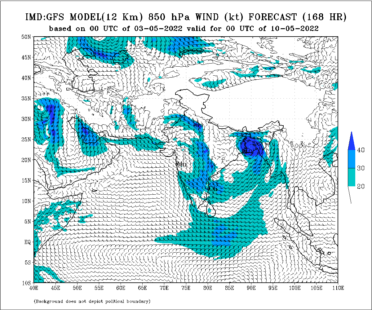
Bhubaneswar: With a cyclonic circulation forming over the Andaman Sea, the India Meteorological Department (IMD) on Wednesday said that the system will become a low-pressure area over the same region around May 6 and move northwestwards before gradually intensifying into a depression during the subsequent 48 hours.
“Conditions favourable for a cyclone. Projection of intensity and landfall place can only be made after the formation of the low pressure,” IMD DG Mrutyunjay Mohapatra said.
However, the IMD:GFS model indicates that the system may move towards the West Bengal-Bangladesh coast and make landfall around May 10.

According to senior meteorologist Jason Nicholls, any low that develops in the Bay of Bengal late this week and the weekend is most likely to impact the area from Andhra Pradesh to West Bengal next week.
Easterly Quasi-Biennial Oscillation (QBO) should favor a W to NW track for any low that develops in the Bay of Bengal late this week & weekend. Most likely impact area looks to be from #AndhraPradesh to #WestBengal next week. pic.twitter.com/8LE9tT1coC
— Jason Nicholls (@jnmet) May 3, 2022
By May 6, the system is expected to become a cyclone. The storm will be intensifying and moving along the Arakan Coast, and possibly keep gaining strength, the Skymet weather agency said, adding that it will most likely move towards Bangladesh.
The American GFS also shows the system moving towards the Bangladesh coast. The European ECMWF model, however, indicates that the system in the Bay of Bengal moving towards Odisha coast.
Also Read: Remember Cyclone Asani? It Never Formed In March; Will It Form In The Coming Days?
If the system intensifies into a cyclone, it will the fourth successive storm in May after Yaas in 2021 and Amphan in 2020 and Fani in 2019, and called Asani, or ‘Wrath’ in Sinhala, a name given by Sri Lanka.
The extremely severe cyclonic storm ‘Fani’ made landfall in Odisha near Puri on May 3, 2019, with wind speed of 175-185 kmph gusting up to 205 kmp. Amphan roared into West Bengal, around 20km east of Sagar Island in the Sunderbans, packing winds gusting to a top speed of 185 kmph on May 21, 2020. The following year, cyclone Yaas battered the northern coastline of Odisha with powerful winds and rains as it made landfall at Bahanaga block with a sustained wind speed of 130 to 140 kmph gusting up to 155 kmph on May 26.


