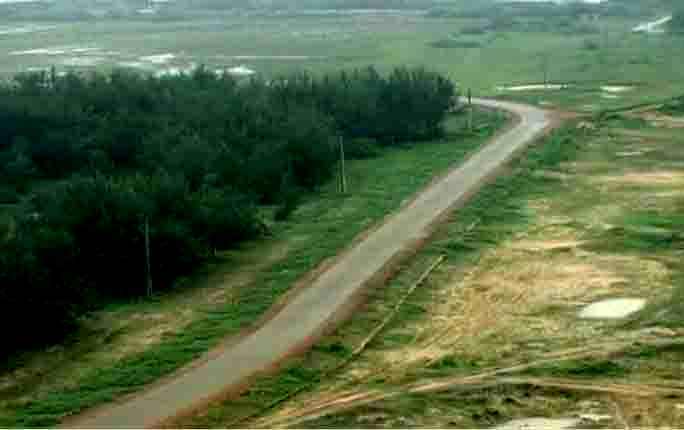
High-Level Committee Okays Coastal Highway Redesigned Map For Odisha

Bhubaneswar: The high-level committee presided over by Chief Secretary Suresh Chandra Mohapatra approved the redesigned map of the Coastal Highway Project in Odisha on Tuesday.
Presenting the redesigned map at the virtual meeting, senior officials of the National Highways Authority of India (NHAI) apprised the committee about the land requirement, the number of trees to be felled and the length of the proposed highway to be constructed in the districts it will pass through.
The construction work of the highway will begin with the approval of Chief Minister Naveen Patnaik.
Talking to the media later, the Chief Secretary said that the NHAI authorities have resigned the coastal Highway map to safeguard the biodiversity and ecosystem of Chilika Lake and Bhitarkanika National Park.
According to the redesigned map, the construction of the proposed coastal highway with a length of about 350 km will start from Tangi in Khurda district to Digha in Balasore district. It will pass through Rebana Nuagan in Brahmagiri in Puri district alongside Chilika lake. From there, it will stretch past Brahmagiri, Puri, Konark, Astarang, Naugan, Paradip Port, Ratanpur, Satabhaya, Dhamra, Basudevpur, Talapada, Chandipur and Chandaneswar and end at Digha.
Mohapatra said that it has proposed the NHAI to extend the highway up to Satapada and recommended the same to the state government to take a final decision.
Among others, Additional Chief Secretary and Development Commissioner Pradeep Jena, Additional Chief Secretary, Forest, Environment & Climate Change Mona Sharma, Principal Secretary, Revenue Bishnupada Sethi, Principal Secretary, Finance Ashok Meena and the National Highway Authority of India (NHAI) Odisha head RP Panda were present.
Also Read: Odisha To Approve Redesigned Coastal Highway Map!

Comments are closed.