Rourkela: The National Institute of Technology Rourkela (NIT-R) has entered into a partnership with Survey of India to foster collaboration in geospatial science, advanced mapping technologies and inter-disciplinary research.
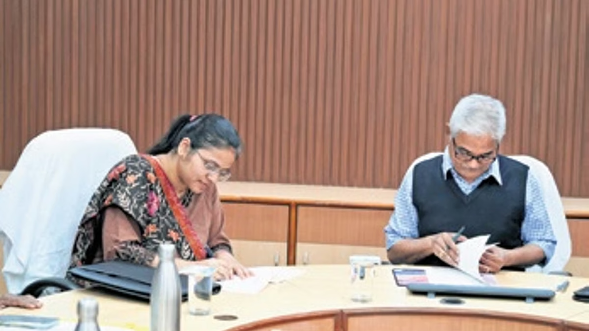
On Wednesday, NIT-R signed a five-year Memorandum of Understanding (MoU) with the Odisha & Chhattisgarh Geo-spatial Directorate of the Survey of India. The MoU was inked by Director of NIT-R Prof K Umamaheshwar Rao and Director of the Odisha & Chhattisgarh Geo-spatial Directorate Swarnima Bajpai. Prof Kishanjit Kumar Khatua from NIT-R’s Civil Engineering department, as well as Bharat Kumbha
r and Ashish Kaushal from the Survey of India were present.
During the event, the Survey of India team presented Geodetic Asset Registers to the NIT-R director.
The partnership envisages combining Survey of India’s expertise in national mapping and geodesy with NIT-R’s strengths in geo-dynamics, remote sensing, earth sciences and climate studies. It will facilitate joint research projects, academic events, technical exchanges, and professional training in alignment with the National Geospatial Policy-2022, which promotes liberalised access to geospatial data, innovation, and its application in governance, infrastructure, and sustainable development.
“By combining the national mapping authority’s expertise with academic research excellence, the partnership will strengthen climate and environmental monitoring, sustainable planning and disaster risk management,” said Prof Rao.
Bajpai described the MoU as a milestone in bridging the gap between theoretical research and practical application.