Heavy Rain To Lash Coastal, Interior Odisha In Next 24 Hours
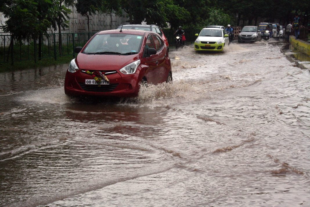
Bhubaneswar: With most parts of interior and southern Odisha districts witnessing heavy rainfall since last evening, the India Meteorological Centre (IMD) has forecast heavy to very heavy rainfall at all places in the state in the next 24 hours.
According to an IMD release, a monsoon trough line passing through Ferozepur, Alwar, Tikamgarh, Umaria, Pendra, Sambalpur and Puri is likely to move east-south-east towards east-central Bay of Bengal. Apart from this, a cyclonic circulation over Chhattisgarh and adjoining Odisha now lies over Chhattishgarh and adjoining east Madhya Pradesh while another cyclonic circulation lies over south Odisha and neighbourhood.
Besides, a low pressure area is very likely to form over the North Bay of Bengal and neighbourhood in the next 72 hours by July 13 and become more marked subsequently.
- Under its influence, heavy rain would lash most parts of Koraput, Malkangiri, Boudh, Sonepur, Bargarh, Sambalpur, Balangir, Sundargarh, Jharsuguda, Sambalpur, Deogarh, Mayurbhanj, Keonjhar, Balasore, Bhadrak, Kendrapara, Jajpur and Jagatsinghpur districts while heavy to very heavy rainfall would occur at one or two places in the coastal Odisha and Malkangiri and Koraput in south Odisha during the period.
The release said that there will be no change in the weather conditions in the state till July 17.
Meanwhile, rainfall recorded in the last 24 hours was 250 mm in Bargarh, 70 mm in Kalahandi, 120 mm in Koraput, 60 mm in Gajapati, 130 mm in Kandhamal, 80 mm in Cuttack, 70mm in Jajpur, 100 mm in Rayagada, 30 mm in Sundargarh, 80 mm in Bhadrak, 70 mm in Balangir, 50 mm in Balasore, and 20 mm each in Jharsuguda, Nayagarh, Angul, Boudh, Keonjhar and Ganjam districts.
Comments are closed.