
Berhampur: In an amazing feat, largest and smallest maps of India, created by ITI students and an artist respectively of Berhampur in Odisha’s Ganjam district, have entered the record books.
The students of the government-managed Industrial Training Institute (ITI) at Berhampur have made an India map measuring 30 ft in height and 24 ft in width. The students of Fitter, Welder and Painter trades built this map in one month.
They used scrap materials from two-wheelers including cranks, chain and sprockets weighing 3 ton in February 2021. The Asia Book of Records has recognised it as the largest solid structure of India map in the country.
ITI Berhampur has displayed beautiful sculptures from scrap materials in its Open Sky Museum inside the campus including the largest India map. “This is our new concept and we plan to make the best out of waste,” said Rajat Kumar Panigrahi, principal of the ITI.
On the Republic Day this year, Captain Gaurav Taneja took part in the ‘Aasman Mein Bharat’ campaign and flew for 350 km in three hours to create the map. He claimed it to be the largest India map. But it was drawn in the sky and not a solid structure.
Meanwhile, Satya Narayan Maharana, a miniature artist of Berhampur has made the smallest Bharat map on a pencil lead and placed it in the India Book of Records.
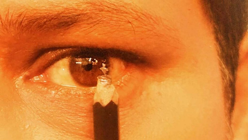
India Book of Records confirmed it as the smallest India map on August 29. Satya carved out the smallest map (2 mm in height and 2 mm in breadth) on a pencil lead in 4 minutes and 57 seconds, according to the official confirmation. It would be placed in India Book of Records 2025.
Maharana has set more than 60 international and national records for creating smallest artifacts in different mediums.
Comments are closed.