Bhubaneswar: A cyclonic circulation is likely to emerge over south Andaman Sea around December 4, according to the India Meteorological Department (IMD).
“Under its influence, a low-pressure area is likely to form over the same region during the subsequent 24 hours. As a result, rainfall activity is likely to increase over Andaman and Nicobar Islands with light to moderate fairly widespread/widespread rainfall and isolated heavy falls from December 5, it added.
Private weather forecasters said that the system may intensify further and move in west-northwest direction towards Tamil Nadu coast.
As per early predictions made by the GFS and ECMWF forecasting models, it may well approach South Peninsular India around next Friday (December 9) as a cyclonic storm, the Weather reported.
“Low-pressure area may bring rainfall over Tamil Nadu that may be stronger in intensity compared to the previous weather systems that formed during the northeast monsoon season. The system may intensify into a well-marked low or at the most a depression. Formation of a cyclone is ruled out as the sea conditions are not favourable for such intensification. The system may move west-northwestwards towards Tamil Nadu. Rainfall may be more intense but we may have to wait and see as the system is yet to form,” said chief meteorologist, Skymet Weather, Mahesh Palawat.
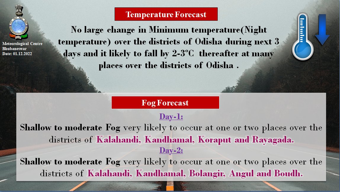
Meanwhile, the IMD has forecast no significant change in the dry weather prevailing over Odisha. Shallow to moderate fog is likely in some districts – Kalahandi, Kandhamal, Balangir, Angul, Boudh, Sonepur and Dhenkanal – till 8.30 am on November 3. “The minimum temperature is likely to fall by 2 to 3 degree Celsius after 3 days,” it added.
Notably, G Udayagiri in Kandhamal was the coldest last night at 10.4 degree Celsius followed by Koraput at 11.2 degree Celsius and Similiguda at 12 degree Celsius.


