Bhubaneswar: The Deep Depression remnant of cyclonic storm Jawad over westcentral Bay of Bengal moved north-northeastwards with a speed of 11 kmph during the past 6 hours, and was about 200 km south of Gopalpur 270 km south-southwest of Puri and 360 km south-southwest of Paradip (Odisha) at 11.30 pm on Saturday.
The India Meteorological Department’s special bulletin issued at 2.30 am said that the system is likely to move north-northeast wards, weaken further into a depression by Sunday morning and reach Odisha coast near Puri around noon. It is likely to continue to move north-northeastwards along Odisha coast towards West Bengal and weaken into a well-marked low-pressure area during the subsequent 12 hours.
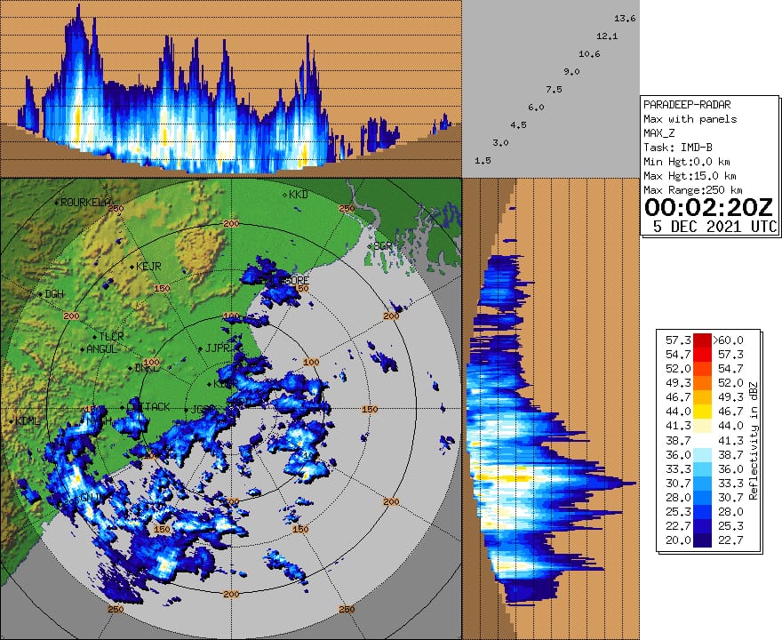
Squally wind speed reaching 45-55 kmph gusting to 65 kmph is likely to prevail along and off Odisha coast during the next 24 hours.
The MeT office has issued Orange warning of heavy to very heavy rainfall for one or two places in Mayurbhanj, Balasore, Bhadrak, Kendrapada, and Jagatsinghpur and Yellow warning of heavy rainfall for isolated places in Keonjhar, Angul, Dhenkanal, Cuttack, Jajpur, Khurda and Puri.
Most places in North coastal districts are likely to experience light to moderate rain during this period and so also the rest of Odisha.
Rainfall activity will continue the following day (December 6) with light to moderate rain or thundershower at a few places in north coastal Odisha and isolated places in the remaining parts of the state.
Fishermen have been advised not to venture into westcentral and northwest Bay of Bengal and along & off north Andhra Pradesh-Odisha-West Bengal coasts during the next 24 hours.


