Bhubaneswar: The regional centre of India Meteorological Department (IMD) on Wednesday said that a low-pressure area is likely to form over the north Bay of Bengal and neighbourhood around June 11 and become more marked during the subsequent 24 hours.
“Under its influence, widespread rainfall activity with isolated heavy to very heavy and isolated extremely heavy falls is very likely in Odisha from June 10 to June 14,” it said.
Besides issuing a flash flood warning, the IMD said that the southwest monsoon is likely to advance into Odisha during the next 2-3 days.
Thunderstorm with moderate to severe lightning activity and scattered to fairly widespread light to moderate rain with isolated heavy rain in some places is very likely during the next two days.
People have been advised to keep watch on the weather and accordingly move to safer places to protect from themselves from lightning strikes, it added.
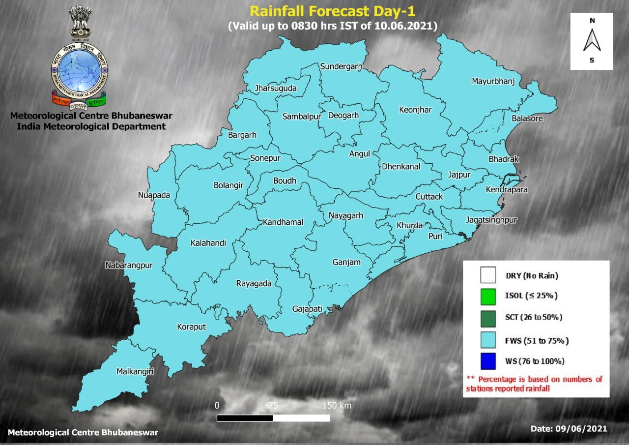
RAIN FORECAST
From June 9 Afternoon
Yellow Warning
Heavy rainfall is very likely to occur at isolated places in Malkangiri, Koraput, Nabarangpur, Sundargarh, Jharsuguda, Deogarh, Keonjhar, Mayurbhanj, Balasore, Bhadrak, Jajpur, Kendrapada and Jagatsinghpur.
June 10
Orange Warning
Heavy to very heavy rainfall is very likely to occur at a few places with extremely heavy falls at isolated places in Kendrapada, Jagatsinghpur, Cuttack, Angul, Dhenkanal, and Sambalpur.
Yellow Warning
Heavy rainfall is very likely to occur at isolated places in Mayurbhanj, Keonjhar, Bhadrak, Balasore, Jajpur, Sundargarh, Deogarh, Jharsuguda, Bargarh, Malkangiri, Koraput, Kalahandi, Kandhamal, Boudh, Sonepur and Nabarangpur.
June 11
Orange Warning
Heavy to very heavy rainfall is very likely to occur at a few places with extremely heavy falls at one or two places in Balasore, Bhadrak, Jajpur, Kendrapada, Cuttack, Jagatsinghpur, Khurda, Puri, Angul, Dhenkanal. There is also a possibility of heavy to very heavy rainfall at one or two places in Deogarh, Sambalpur, Sonepur, Boudh, Balangir, Kalahandi, Kandhamal, Malkangiri and Koraput.
Yellow Warning
Heavy rainfall is very likely to occur at isolated places in Sundargarh, Jharsuguda, Bargarh, Nuapada, Nabarangpur, Rayagada, Gajapati, Ganjam, Nayagarh, Keonjhar and Mayurbhanj.
June 12
Orange Warning
Heavy to very heavy rainfall is very likely to occur at a few places with extremely heavy falls at isolated places in Malkangiri, Koraput, Nabarangpur, Kalahandi, Kandhamal, Nuapada, Balangir, Sonepur, Boudh, Bargarh, Sambalpur, Angul and also isolated heavy to very heavy over the districts of Dhenkanal, Cuttack, Jajpur, Bhadrak, Kendrapada, Jagatsinghpur, Deogarh and Jharsuguda.
Yellow Warning
Heavy rainfall is very likely to occur at isolated places in Sundargarh, Keonjhar, Mayurbhanj, Balasore, Puri, Khurda, Nayagarh, Gajapati, Ganjam and Rayagada.
June 13
Yellow Warning
Heavy to very heavy rainfall is very likely to occur at one or two places in Malkangiri, Koraput, Nabarangpur, Kalahandi, Nuapada, Balangir, Bargarh, Sonepur, Sambalpur, Jharsuguda, Sundargarh, Keonjhar and Deogarh.
POSSIBLE IMPACT
1-Water logging and localised/flash flood in some places.
2-Some damage to informal/kutcha road.
3- Traffic congestion and disruption of municipal services due to waterlogging in urban areas.
4- Damage of horticultural crops/vegetables in some areas due to inundation.
5. Possibility of landslides in hilly areas.
The IMD further said that squally weather with surface wind speed reaching 40 -50 kmph gusting to 60 kmph is very likely to prevail over central Bay of Bengal adjoining north Bay of Bengal during June 10 -12 and along and off Odisha coast and North Bay of Bengal adjoining westcentral Bay Bengal from June 11.
Fishermen have been advised not to venture into deep sea areas of central Bay of Bengal adjoining north Bay Bengal during June 10-12 and along and off Odisha coast and north Bay of Bengal adjoining west-central Bay Bengal from June 11 to June 13.
Whoever in the deep-sea area have been advised to return to the coast by the evening of June 10.


