Bhubaneswar: A cyclonic circulation lies over Southeast Bay of Bengal and adjoining Andaman Sea. It is likely to move west-northwestwards and under its influence, a low-pressure area is likely to form over central parts of Bay of Bengal around October 20, the India Meteorological Department (IMD) informed on Tuesday.
The system, according to IMD’s extended range outlook, is likely to move westwards towards North Tamil Nadu and Andhra Pradesh coasts with low probability of further intensification into depression over southwest and adjoining westcentral Bay of Bengal.
The weather agency has forecast light to moderate rainfall at some/many places with isolated heavy rainfall accompanied by thunderstorm and lightning in Tamil Nadu, Puducherry & Karaikal, Kerala & Mahe, South Interior Karnataka on October 17.
Also Read: Fresh Low Pressure Over Bay Of Bengal During Durga Puja; Will It Cross Odisha?
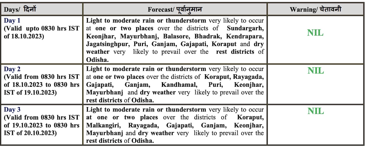
Light to moderate rain or thunderstorm may also occur in Odisha till October 19. However, dry weather will prevail in the state thereafter with no large change in the maximum and minimum temperature during next 5 days, the IMD said in its midday bulletin.
The IMD also informed about likely formation of a low-pressure area over Southeast & adjoining Eastcentral Arabian Sea during next 36 hours. It is likely to move further west-northwestwards and intensify into a depression over Central Arabian Sea around October 21.


