Bhubaneswar: The remnants of Cyclone ‘Sitrang’ has weakened into a well-marked low pressure and moved away and lay centred over northeast Bangladesh and adjoining Meghalaya this morning, the India Meteorological Department (IMD) informed on Tuesday.
It is likely to weaken into a low-pressure area during the next 6 hours.
While some places in North Odisha experienced light to moderate rain, dry weather prevailed in southern districts of the state. Maximum temperature also dropped at a few places in North coastal Odisha, and one or two places in North interior Odisha, while mercury rose at one or two places in interior Odisha. A similar trend was seen in the minimum temperature.
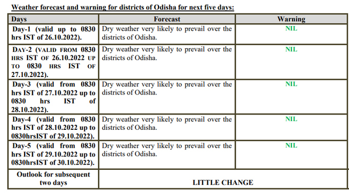
The MeT office has forecast dry weather for the state for the next 5 days with no large change in maximum and minimum temperature.
Seven-day weather forecast for the twin cities of Bhubaneswar and Cuttack

Notably, several houses were damaged in heavy rainfall and a storm triggered by the cyclone in the Nagaon district of Assam. Numerous trees and electric poles were also uprooted in various parts of the region on Monday night. Strong wind speed reaching 25-35 kmph gusting to 45 kmph is very likely to prevail over south Assam and adjoining Meghalaya, Mizoram and Tripura during the next 6 hours and reduce thereafter, the IMD said.
The cyclone, which roared into the Bangladesh coast with winds gusting up to 88 kph (55 mph) and a storm surge of about 3 m (10 ft) on Tuesday, claimed at least 9 lives, destroyed houses, uprooted trees and disrupted road, power and communication links.


