Low Pressure Likely To Form Over North Andaman Sea In 36 Hours; What Is In Store For Odisha

Bhubaneswar: A low-pressure area is very likely to form over the north Andaman Sea and neighbourhood in the next 36 hours. It is likely to become more marked and move west-northwestwards towards south Odisha-north Andhra Pradesh coasts in the subsequent 4-5 days, the India Meteorological Department said on Sunday.
The Met office has forecast light to moderate rain or thundershower at one or two places in coastal Odisha, Mayurbhanj, Keonjhar, Dhenkanal, Kandhamal, Rayagada, Malkangiri and Koraput during the next 24 hours.
#Weather briefing by Scientist-C: Umasankar Das for next five days, based on 0830 Hrs IST observation of #10th October, 2021.https://t.co/Bvu5t1cVT1 pic.twitter.com/UObQE0zt80
— Meteorological Centre, Bhubaneswar (@mcbbsr) October 10, 2021
It has, however, not issued any warning till October 14 morning.
The Czechoslovakia-based private weather agency Windy and the India-based private weather agency Skymet had earlier said that cyclonic circulation over the North Andaman Sea and neighbourhood will intensify into low-pressure and then a cyclonic storm.
The IMD had also confirmed that be it a low pressure or a cyclonic storm, the system will make landfall in coastal Odisha.
Also Read: Cyclonic Storm To Hit Odisha Coast After Dussehra!
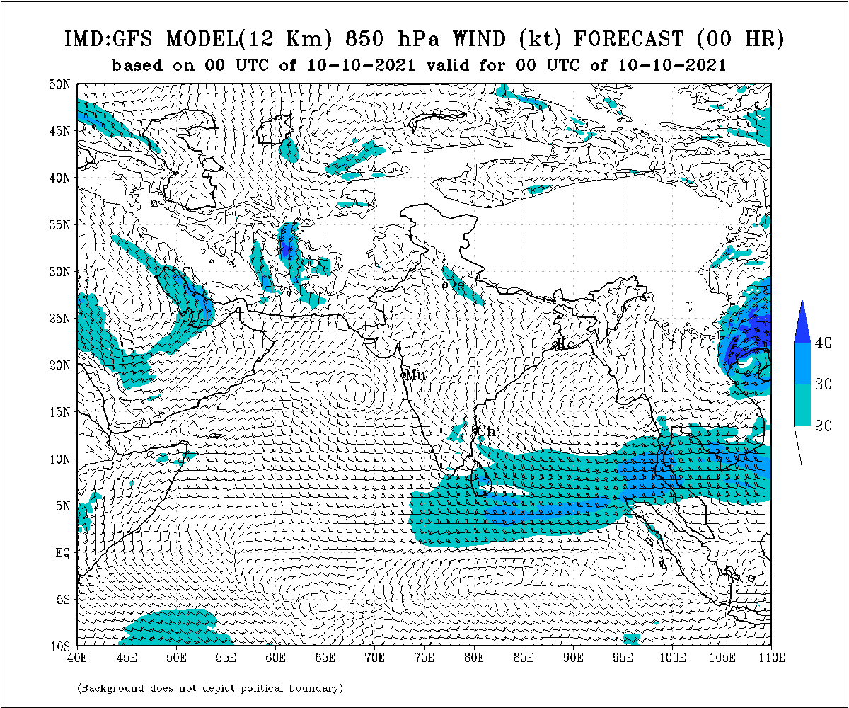
The IMD-GFS earlier models showed the formation of a system over the Bay of Bengal around October 12 and its movement towards Odisha-Andhra Pradesh coasts around October 15.
Also Read: Phailin Redux: Will Puja See A Cyclone Heading Towards Odisha?
According to the NCEP-GFS forecast, the developed system will intensify into a cyclone by October 16 and may cross the coast between Srikakulam (Andhra Pradesh) and Gopalpur (Odisha) coast on and around October 17.
The ECMWF model indicated that the system may approach Visakhapatnam-Kakinada coasts around October 15.
If the system intensifies into a cyclonic storm, it will be named Cyclone Jawad.

Comments are closed.